About us

Renoverse Industry Private Limited is a forward-thinking organization committed to advancing sustainable development through innovative solutions in Natural Resource Management (NRM), Geohydrology, Climate Change Adaptation, and Integrated Water Resource Planning. Our expertise spans across Detailed Project Reports (DPRs), GIS and Remote Sensing, Soil and Water Conservation Planning, Water Budgeting, and Baseline Surveys.
We specialize in end-to-end project execution—from survey and analysis to planning and implementation—with a strong focus on environmental integrity and community development. We also offer basic and advanced training programs in GIS, empowering individuals and institutions with cutting-edge geospatial knowledge.
Operating across key regions in India including Rajasthan, Madhya Pradesh, Bihar, Jharkhand, Gujarat, Maharashtra, and Haryana, our work is rooted in scientific planning, stakeholder engagement, and a commitment to long-term ecological sustainability
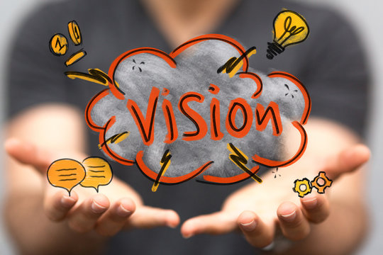
Renoverse Industry Private Limited, our vision is to build a future where natural resources are managed wisely, equitably, and sustainably—ensuring environmental integrity, economic development, and social well-being for all. We aspire to be at the forefront of Natural Resource Management, Climate Change Adaptation, and Geospatial Technology Integration by combining scientific innovation, community participation, and evidence-based planning.
We envision transforming landscapes and rural economies through the efficient use of GIS, remote sensing, and hydrogeological surveys to guide the planning and implementation of impactful interventions in soil and water conservation, water budgeting, and sustainable agriculture. Our goal is to empower local communities, government bodies, and stakeholders by offering not just services, but also capacity-building programs and advanced training in GIS and environmental monitoring.
Through our work, we aim to create resilient ecosystems, promote inclusive growth, and contribute meaningfully to national and global efforts in achieving the Sustainable Development Goals (SDGs), particularly those related to water security, climate action, land restoration, and rural livelihoods.
To deliver high-quality, data-driven solutions in watershed development, climate resilience, and geospatial mapping.
To promote efficient and equitable use of natural resources through scientific surveys, DPR preparation, and on-ground implementation.
To build capacities of communities and stakeholders through GIS training and awareness programs.
To integrate traditional knowledge with modern science for holistic and sustainable rural development.
To support government, NGOs, and private stakeholders in designing and executing impactful environmental and resource management programs.
